Herring Island is a small 3.2ha artificial island located in South Yarra, approximately 4kms from the city centre. Meet at Como Landing in Richmond and cross the temporary floating bridge to Herring Island and enjoy a picnic day with NGV and Bupa.
Providing unique access for this weekend, a temporary floating bridge will take you to the island where you can unwind with a picnic undercover or in the open air.
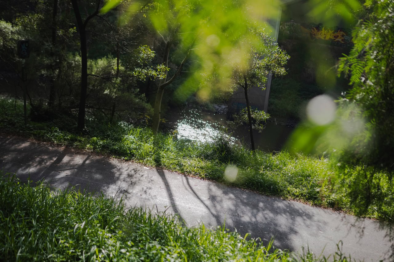
Throughout the day, you’re encouraged to get your steps up by walking around the island to explore unique public sculptures and art installations. This is the perfect opportunity to connect with Birrarung and fellow nature enthusiasts.
Herring Island is best known for its unique sculpture park consisting of nine environmental sculptures, interwoven into the parks’ landscape created by internationally renowned artists under the guidance of curator Maudie Palmer AO. These sculptures celebrate the natural environment. They were created using only natural materials and have since become an integral part of the island’s landscape. The trail that weaves through these sculptures is a must-do for anyone visiting the island.
Download the Herring Island Visitor Guide for more information and a map of the island.
HERRING ISLAND HISTORY
Herring Island is the only substantial island on the Birrarung (Yarra River). Originally a basalt quarry in the 1800s, this artificial island was formed in 1928 by cutting a river channel through the disused Richmond quarry severing the section of land, which is now Herring Island from Richmond, creating a shortcut for the river to lessen the likelihood of flooding. In doing so the natural course of the river, which winds around the southern side of the island was altered. Natural outcrops of basalt can still be seen on the northern corner of the island, revealing a glimpse of the fascinating history of the site. In 1934, the biggest flood recorded since colonisation submerged the island after which levee banks were rebuilt, and revegetation of the island began the 1990s the island became managed by the state government and, in 1996, Parks Victoria in association with Maudie Palmer AO developed the concept for an Environmental Sculpture Park. Over the next five years, unique sculptures were added to the island’s landscape to enhance the island’s natural and recreational attributes and provide a retreat from the urban environment of the city.
ACCESS INFORMATION
The temporary floating pontoon bridge being used for this event is suitable for all ages and abilities to cross. Once on the island the terrain is at times uneven and steep and may not be fully accessible for those with mobility limitations. Visitors are reminded to proceed with care and caution when entering the natural landscape.
Please note that Herring Island is home to some of Victoria’s most precious and beloved wildlife. Visitors are asked to proceed with care and caution.
Look after the park by following these guidelines:
- Please take rubbish home with you for recycling or disposal.
- Do not feed the wildlife, including all water birds.
- All native plants, animals, cultural and historic features are protected, pets are not permitted.
- Stay on the tracks
This program is co-presented by Bupa and the NGV in association with the exhibition Reimagining Birrarung: Design Concepts for 2070.
