Upper Yarra by Bush Projects
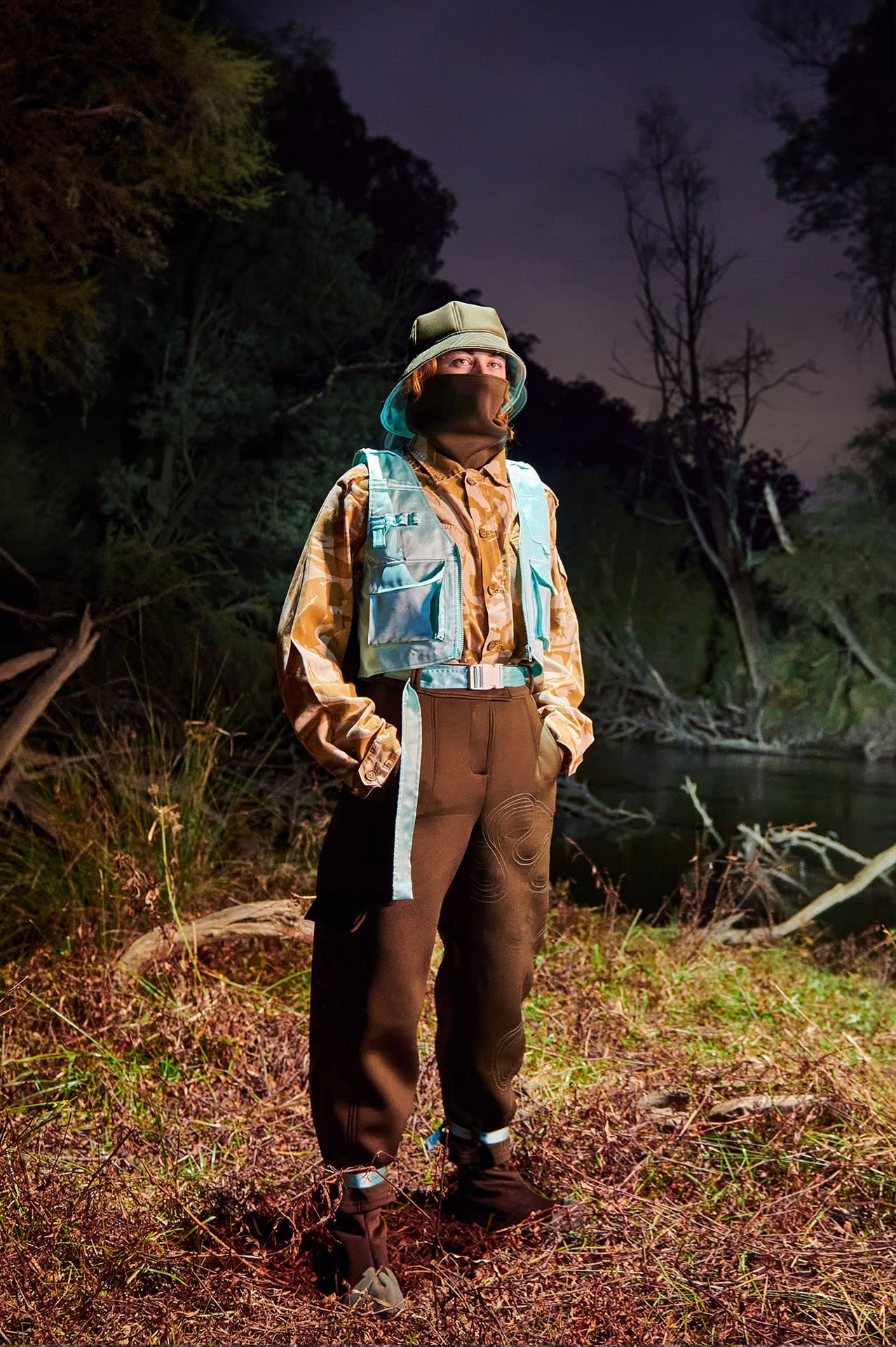
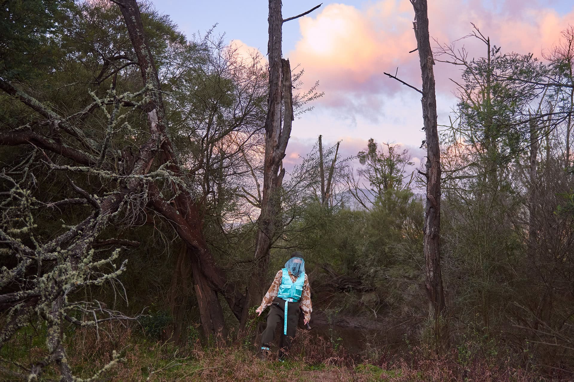
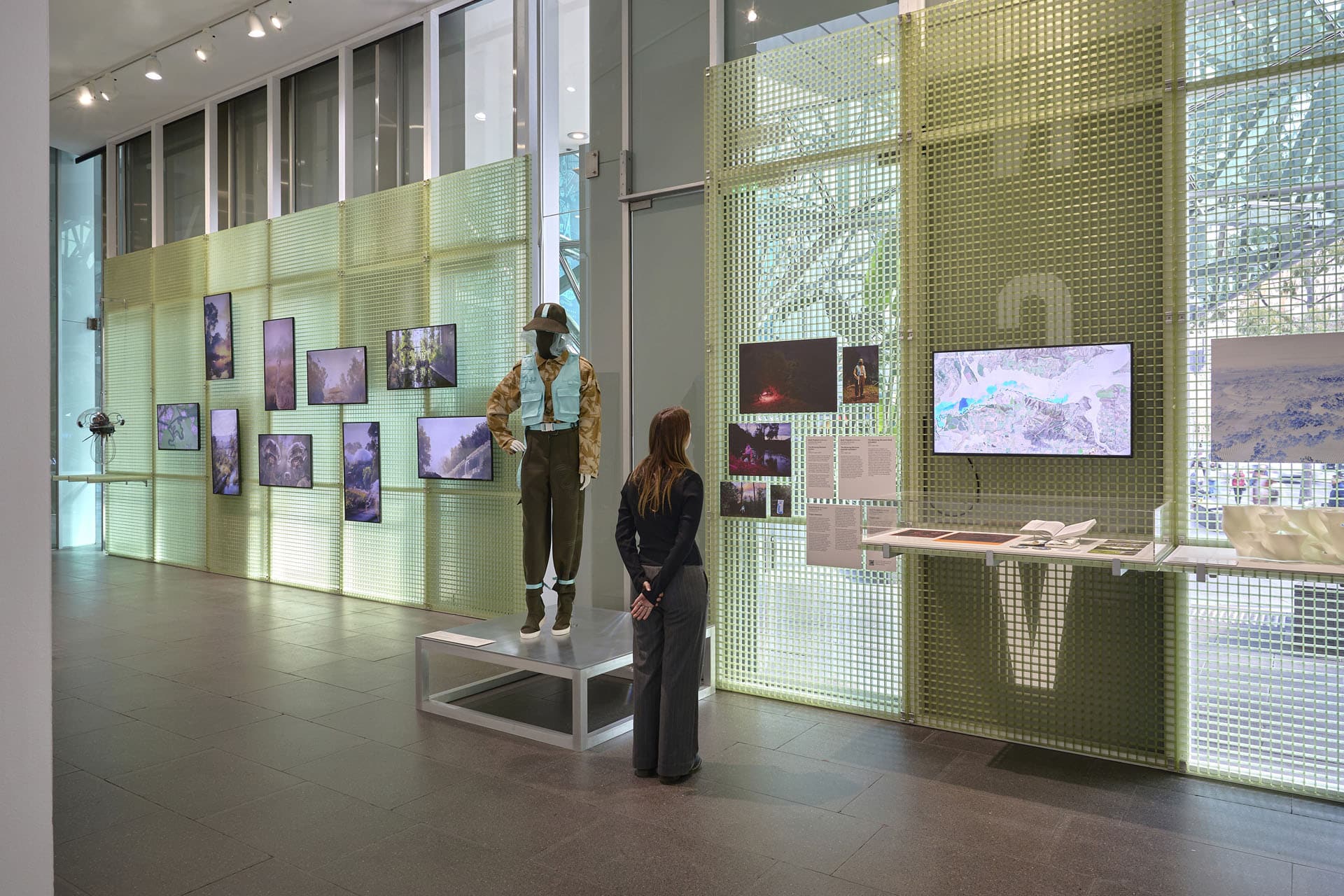
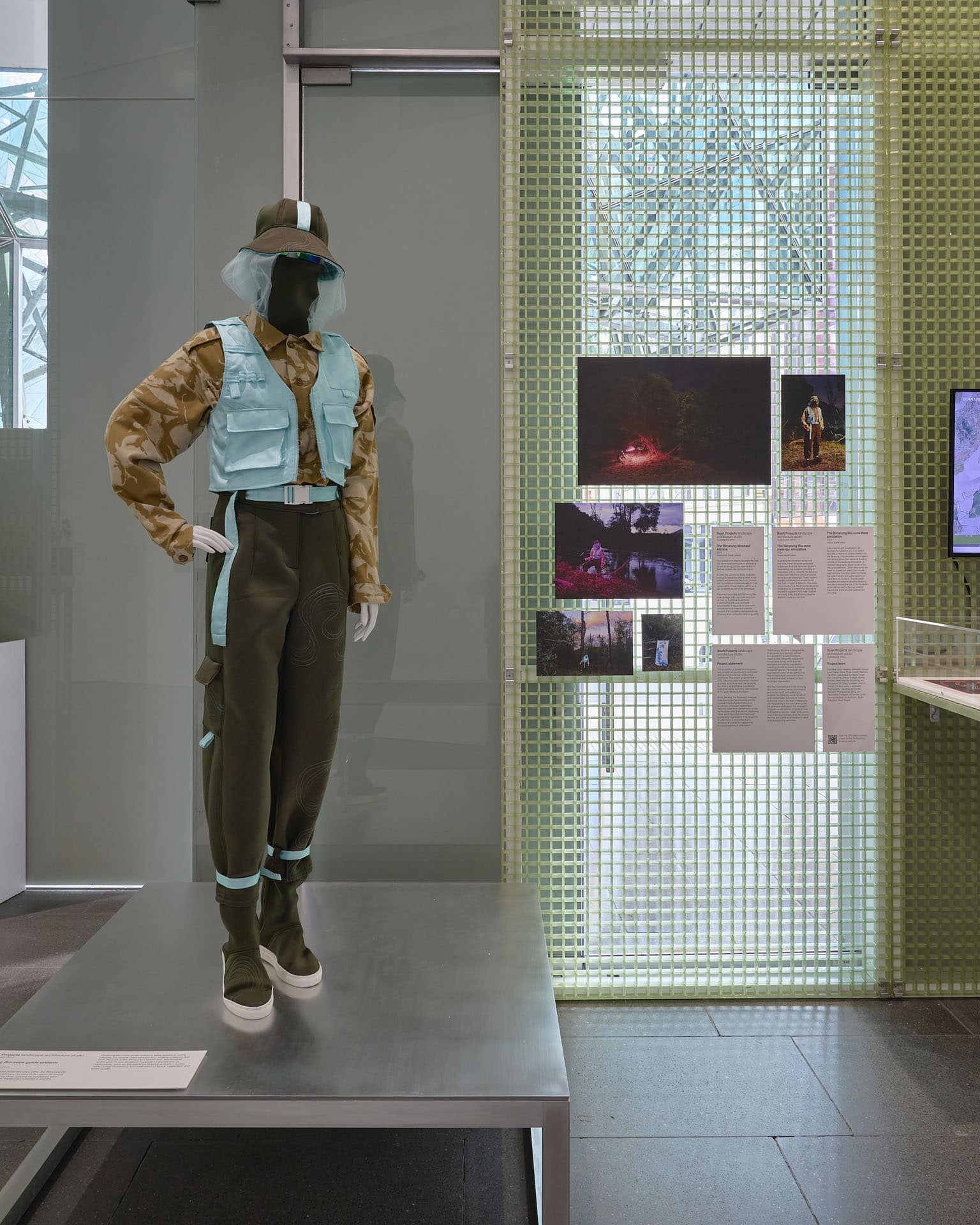
Birrarung Bio-zone guide uniform
Public access to core protected sites within the Birrarung Bio-zone, a future protection area located in the upper-Birrarung catchment, is guided by local community caretakers who work in partnership with Traditional Custodians and the State Government.
Birrarung Bio-zone guide uniforms allow guides to safely traverse the riparian swamplands and shallow wetlands that form this part of the Birrarung’s landscape. All elements of the uniform are designed to prevent transmission of biohazards, such as the seeds of invasive species, into the zone during monitoring and evaluation of fauna, vegetation and water quality.
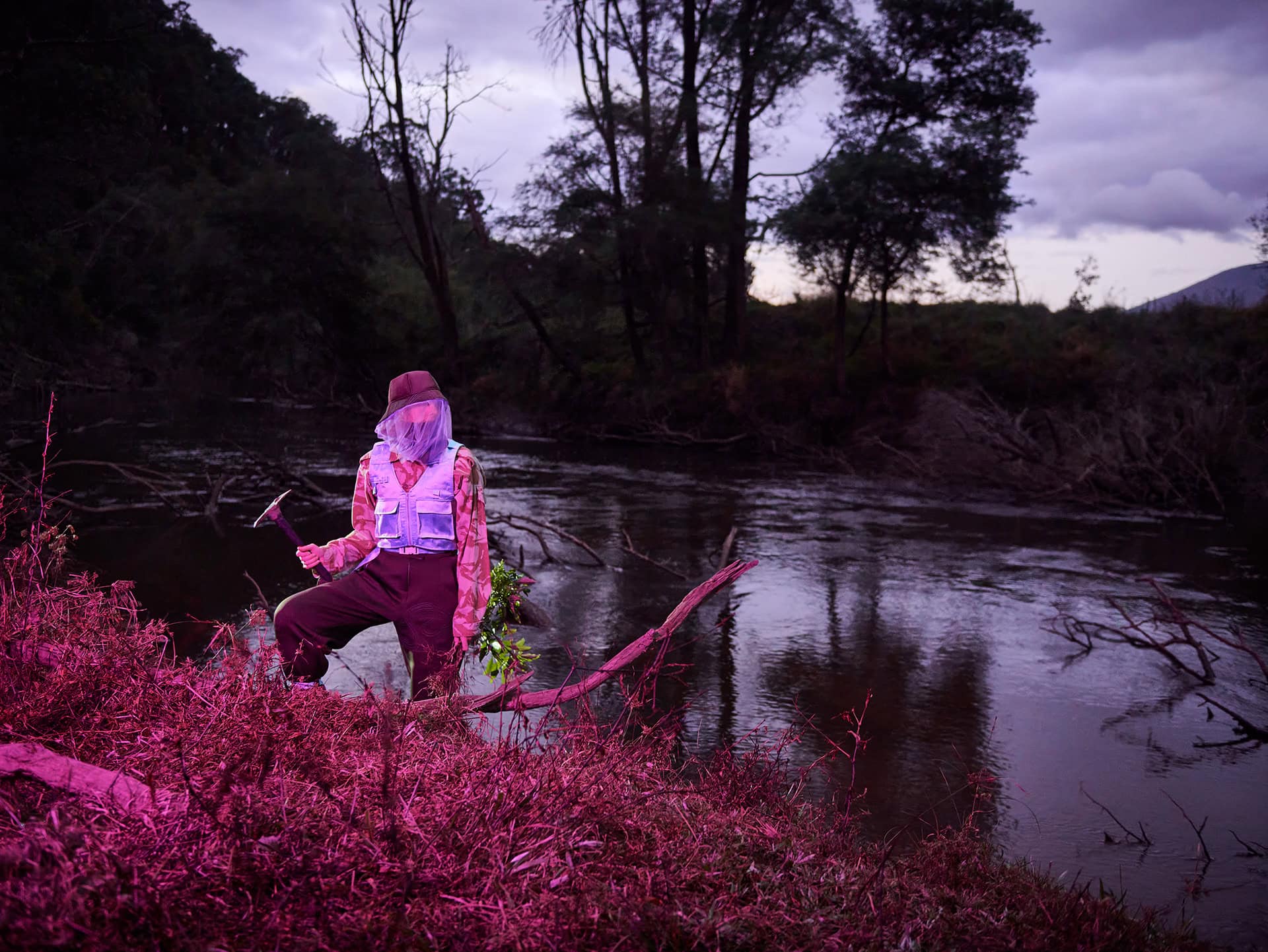
Project Statement
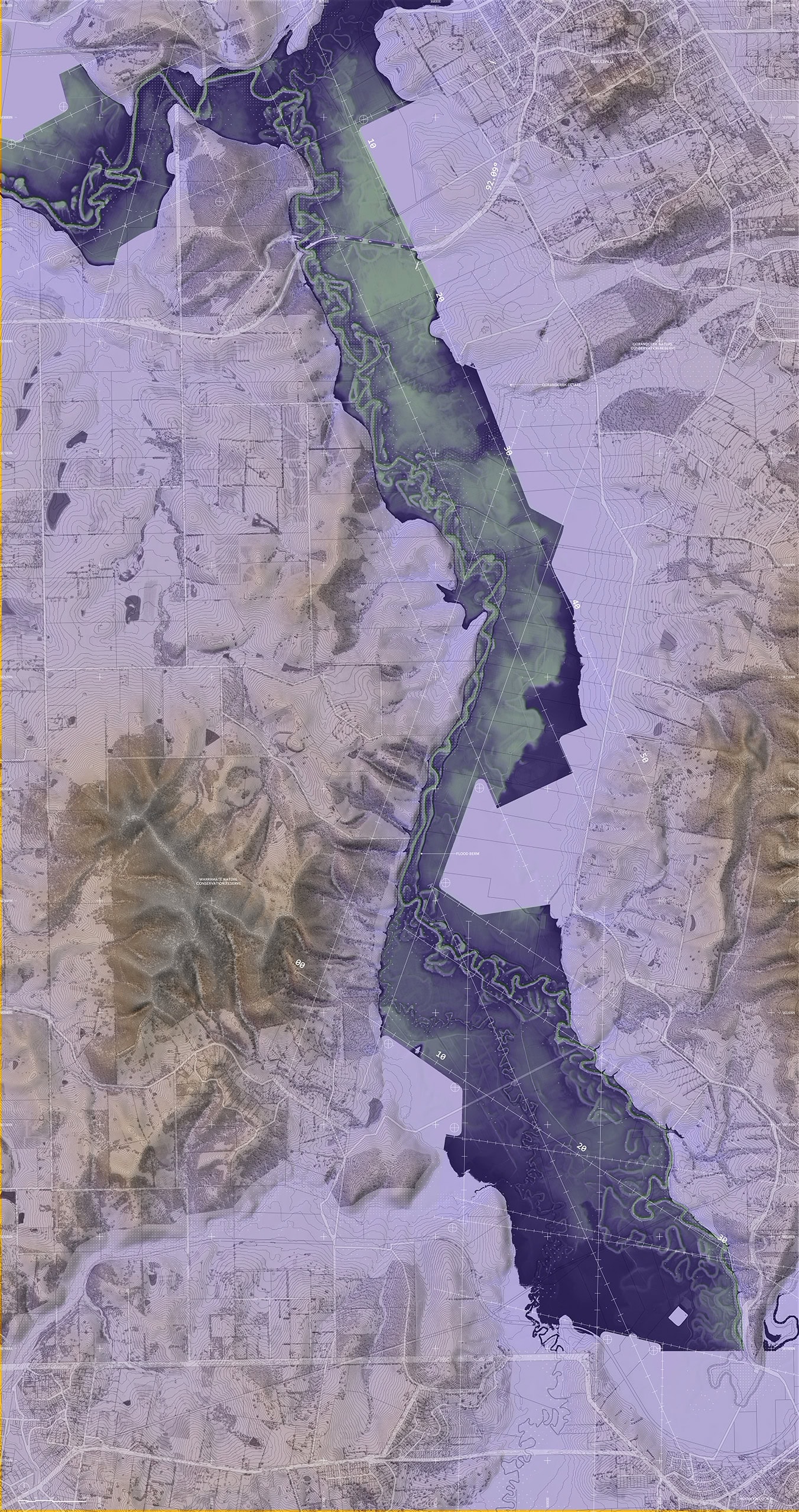
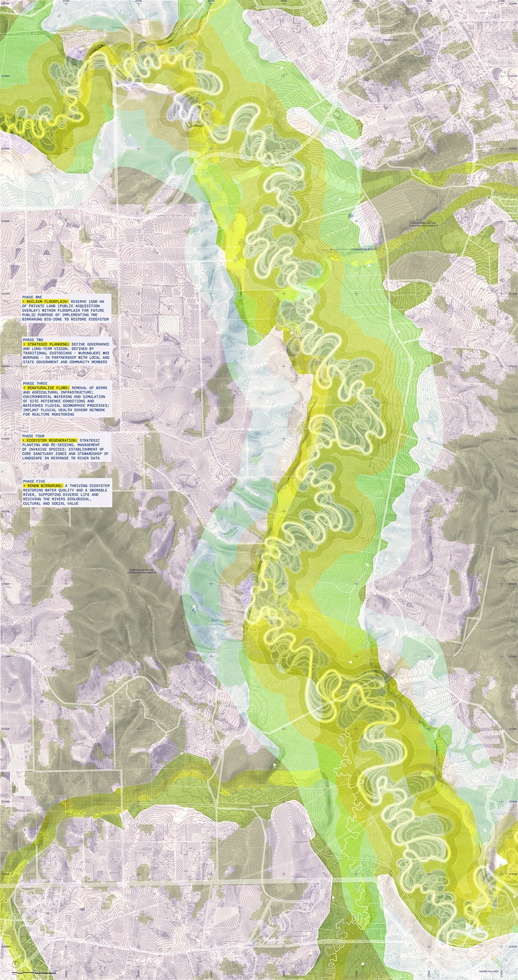
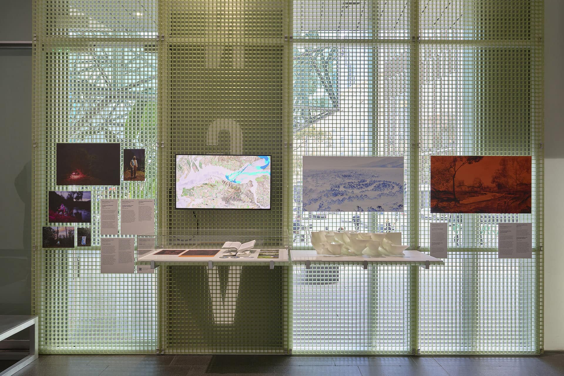
The acquisition of private land for public use provides an opportunity to reconsider land use to prioritise the needs of the community. This project proposes that in 2070, following public acquisition of a tract of private agricultural land, the Birrarung Bio-zone is established as a protected ecological habitat spanning 1500 hectares of the upper Birrarung floodplain.
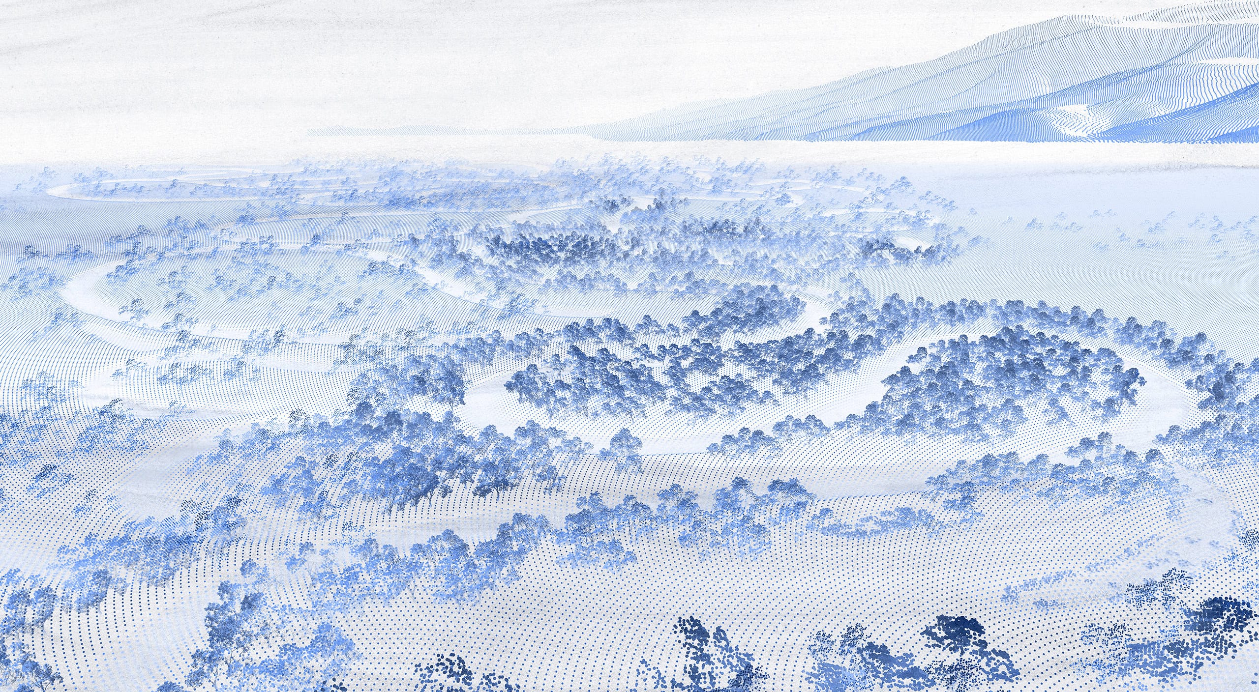
Within the zone, the Birrarung’s seasonal water-flow cycles are reinstated and the removal of agricultural infrastructure accelerates landscape regeneration. Seasonal water flows spread freely across the floodplain and downstream, dispersing native seeds along the catchment and accelerating regeneration. This movement of water helps to restore the river’s resilience, and protects it against the evolving pressures of urbanisation.
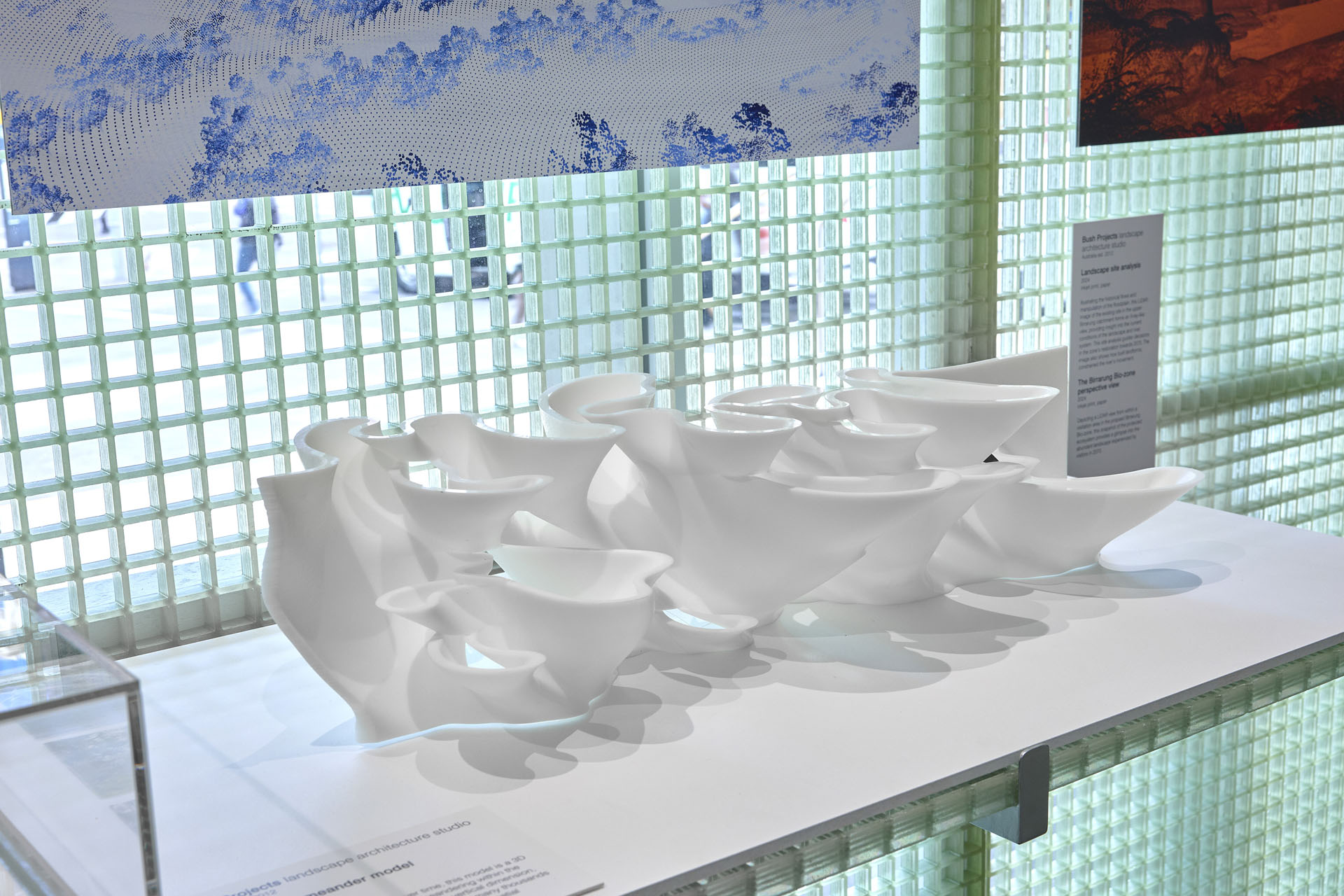
The Birrarung Bio-zone is designed as a new public land typology, defined by a gradient of access thresholds. These access categories include core conservation zones, which provide ecological and publicly inaccessible breeding grounds to protect numerous threatened species.The broader site plan features visitor access points, First Nations agricultural production zones and extensive seed orchards for local landscape regeneration.
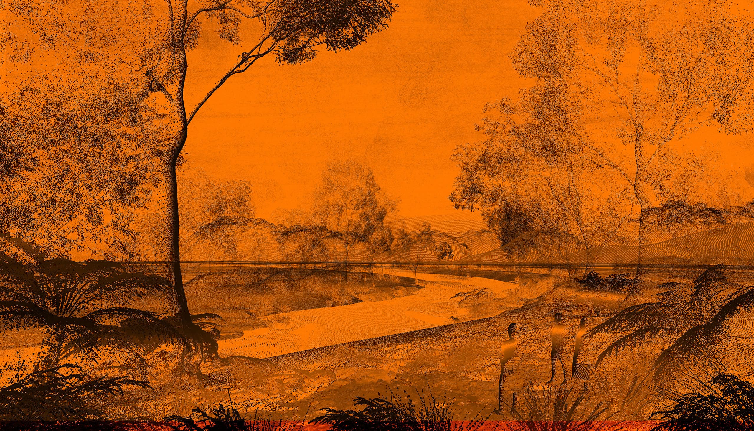
With the implementation of the Birrarung Bio-zone a renewed sense of ecological and human health and wellbeing is possible; the Birrarung would be safe to swim downstream, enriching its cultural and social value in the heart of Melbourne city. Responding to the river’s flow cycles, the emergent ecologies of this reinstated floodplain would harbour a myriad of local and migrating species – water birds can be seen in the sky overhead, large fish occupy the river, and a diverse landscape of native flora populates the catchment.
About Bush Projects
Bush Projects is a multidisciplinary landscape architecture studio based in Melbourne. Working collaboratively, the studio shares collective expertise to establish immersive shared places that directly engage with the dynamics of the local environment and community. Operating across scales and within varied contexts, the practice prioritises landscape to expand functional use and create opportunity for public engagement, while regenerating the unique environmental conditions and values of each site.